The Historic Town of Chepstow
Overlooking the estuaries of the Wye and Severn, and home to the magnificent Chepstow Castle, Chepstow is a historic town in Monmouthshire, south-east Wales, adjoining the border with Gloucestershire in England.
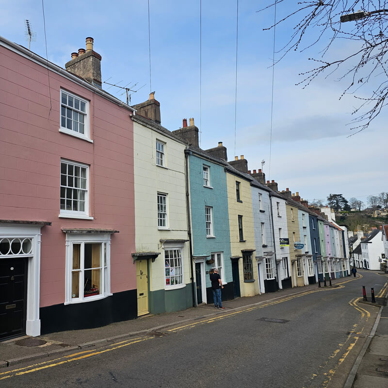
Chepstow Through the Ages
The easternmost settlement in Wales, Chepstow stands in an area which provides evidence of human settlement dating from the Mesolithic period of around 5000 BC until the end of the Roman period in the early 5th century.
Archaeological evidence has revealed Iron Age fortified camps in the area as well as Roman materials and burials, but no evidence of Roman buildings. Although Chepstow is located at a crossing point directly between the Roman towns at Gloucester (Glevum) and Caerwent (Venta Silurum), there is no solid proof that a Roman fort existed at Chepstow itself.
After the Romans left Britain in the 5th century, Chepstow was within the southern part of the Welsh kingdom of Gwent. It is thought that Chepstow may have succeeded the nearby Roman town of Caerwent as a trading centre, used by both Saxons and the Welsh. About a mile to the north of the town, a small church was established dedicated to Saint Cynfarch (alternatively Cynmarch, Kynemark or Kingsmark), a disciple of Saint Dyfrig. This later became an Augustinian priory, but no traces of it remain.
Chepstow was noted for its strategic importance and became a key location for the Normans after their conquest of England as it was at the lowest bridging point of the River Wye, providing a base from which to advance Norman control into south Wales, and where they could control river access to Hereford and the Marches.
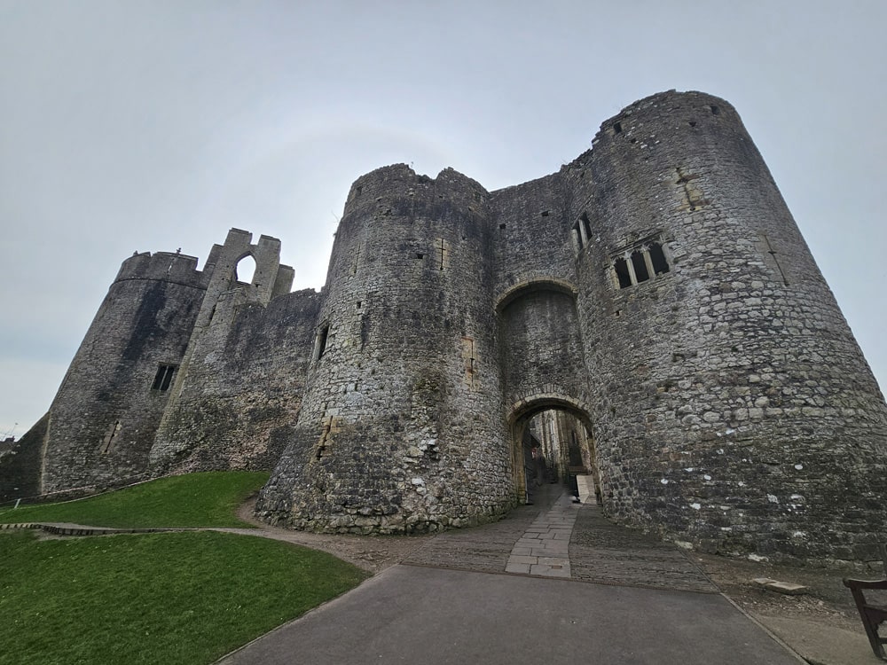
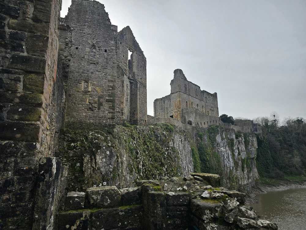
The Normans referred to the area as Striguil (alternatively Strigoil or Estrighoiel), derived from the Welsh word ‘ystraigl’ meaning ‘river bend’. In 1067 William the Conqueror ordered that the first marcher castle be built there; Chepstow Castle, which still stands today and is cited as the oldest surviving stone castle in Britain. The castle was built on the edge of a cliff and took the Norman name Striguil, as did the associated Marcher lordship.
In the early 1070s the Normans also founded a Benedictine priory (now St Mary’s Church) close to the castle, which superseded the earlier Augustinian priory about a mile away. At the time of the Domesday Book in 1086 Striguil was assessed as part of the English county of Gloucestershire.
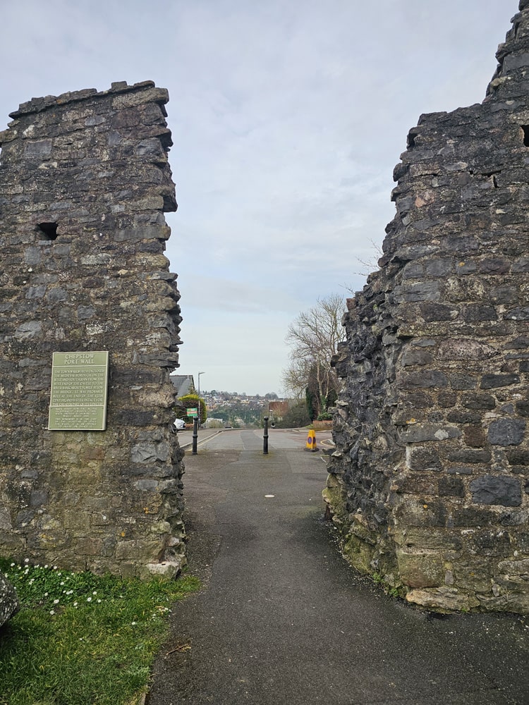
In the late 13th century Striguil received the right to hold a weekly market and annual fair, and the town grew up on the slopes between the castle and priory, which flourished in part due to its exemption from English taxation because it was controlled by a Marcher Lord. Also during this period the town wall was completed, known as the Port Wall, as well as a toll gate to control entry to the market area, known as Town Gate.
The market town and port became known as Chepstow, and by the early 14th century the Marcher lordship and castle took the name of its market town, which derives from Old English meaning an important market place or trading centre. The castle became known as Chepstow Castle and the Marcher lordship of Striguil became the Marcher lordship of Chepstow. The Welsh name for Chepstow, Cas-Gwent, means ‘castle of Gwent’. The name Gwent itself derives from the Roman settlement Venta Silurum or ‘Market of the Silures’, now named Caerwent, located about 5 miles west of Chepstow, which had been the Romano-British commercial centre of south-east Wales.
Chepstow was the largest port in Wales; its ships sailed as far as Iceland and Turkey, as well as to France and Portugal. The port of Chepstow became noted in the Middle Ages for its imports of wine, as well as becoming a major centre for the export of timber and bark from the nearby Wye Valley and the Forest of Dean.
The accession of the Tudor dynasty to the English throne in 1485 heralded a change in the way Wales was administered. The Tudors were of Welsh origin, and their rule eased hostilities between the Welsh and English. As a result, King Henry VIII abolished the powers of the Marcher lords through the Laws in Wales Acts of 1535 and 1542, and the new shire of Monmouth (the county of Monmouthshire) was formed, which incorporated Chepstow.
Chepstow was given its first charter in 1524, and just over a decade later in 1536, Chepstow Priory was dissolved as a result of Henry VIII‘s Dissolution of the Monasteries, but the priory church survived because of its role as a parish church so it continued under the Anglican regime. Also in the 16th century the town gate was rebuilt, and the town appears as “Strigulia”, “Chepstowe” and “Castelh Gwent” on the Cambriae Typus map of 1573, which was the earliest published map of Wales as a separate country from the rest of Great Britain.
The town and its castle changed hands several times during the 17th-century English Civil War, and after the wars the castle served as a military garrison and gaol (prison). At the end of the 17th-century the castle was decommissioned, the garrison was disbanded, the prisoners were removed and the castle was left empty, falling into disrepair and ruin.
The port of Chepstow continued to flourish throughout the centuries, and during the last decade of the 18th century, records show a greater tonnage of goods handled than Swansea, Cardiff and Newport combined. Also at this time, the town became an important centre for tourism when the ‘Wye Tour’ became popular. Visitors regularly took boats from Ross-on-Wye and Monmouth down the river, visiting, drawing and painting the picturesque views of the area, which included those of Tintern Abbey and the ruins of Chepstow Castle.
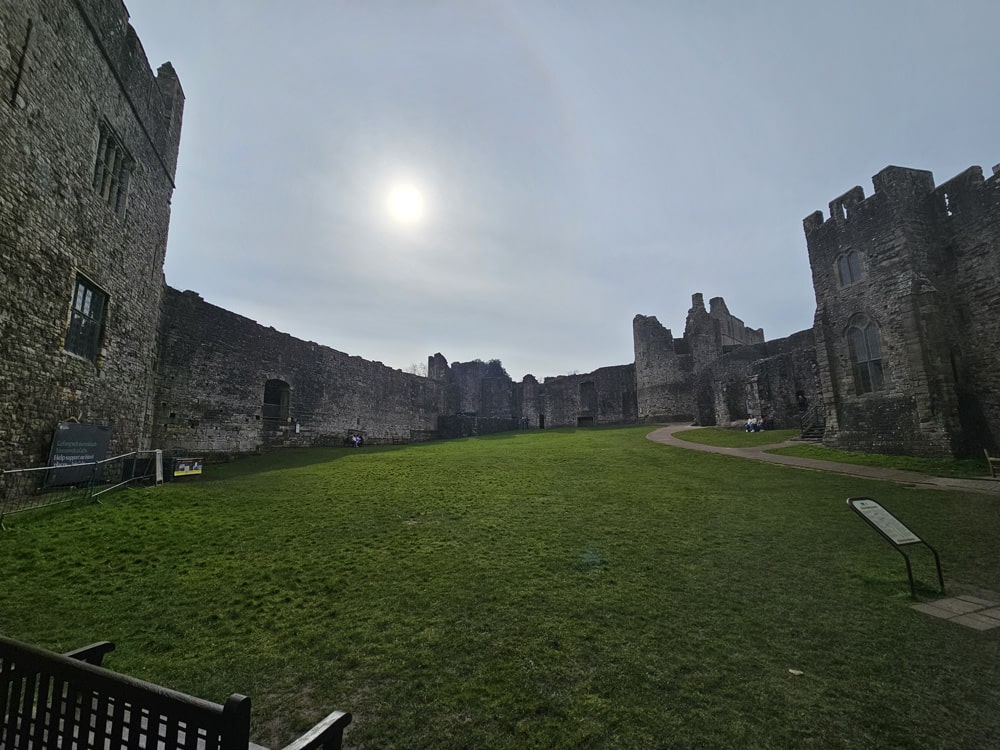
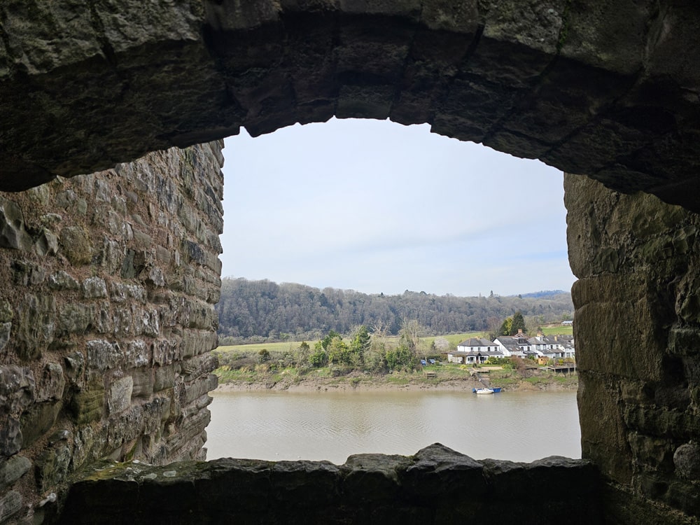
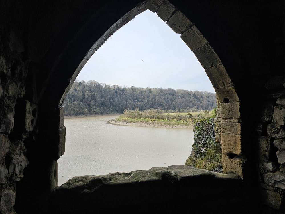
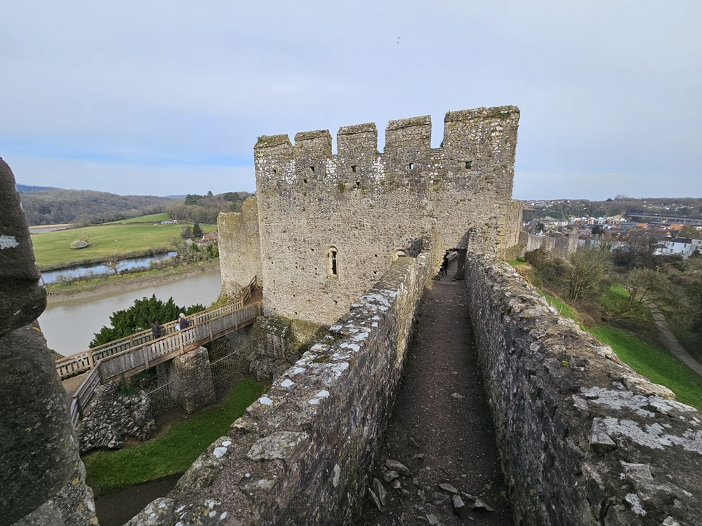
Chepstow’s trade declined after the early 19th century, as Cardiff, Newport and Swansea became more suitable for handling the bulk export of coal and steel from the Glamorganshire and Monmouthshire valleys. Chepstow’s main attraction today is its magnificent castle, which has remained largely intact for close to 1,000 years and is one of the most impressive castles in Wales, and offers incredible views over the River Wye from its dramatic clifftop setting.
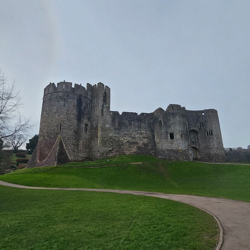
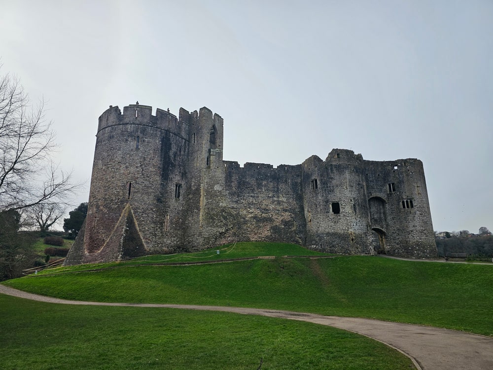
Chepstow Castle
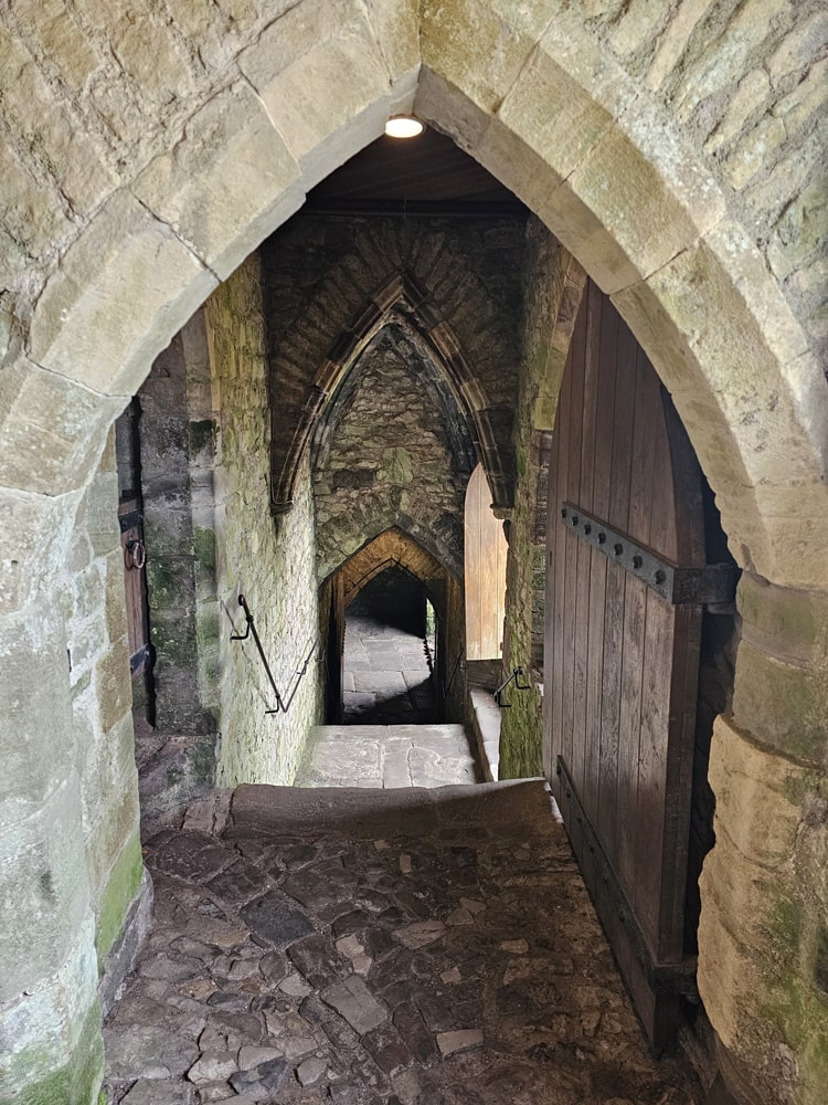
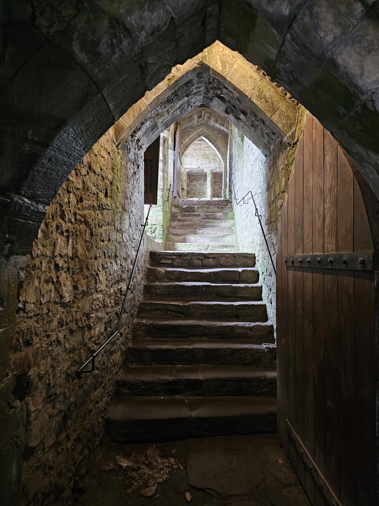
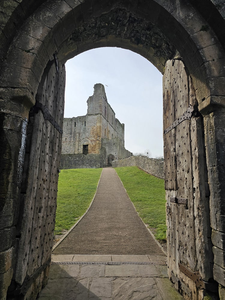
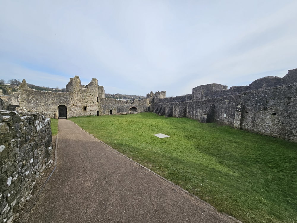
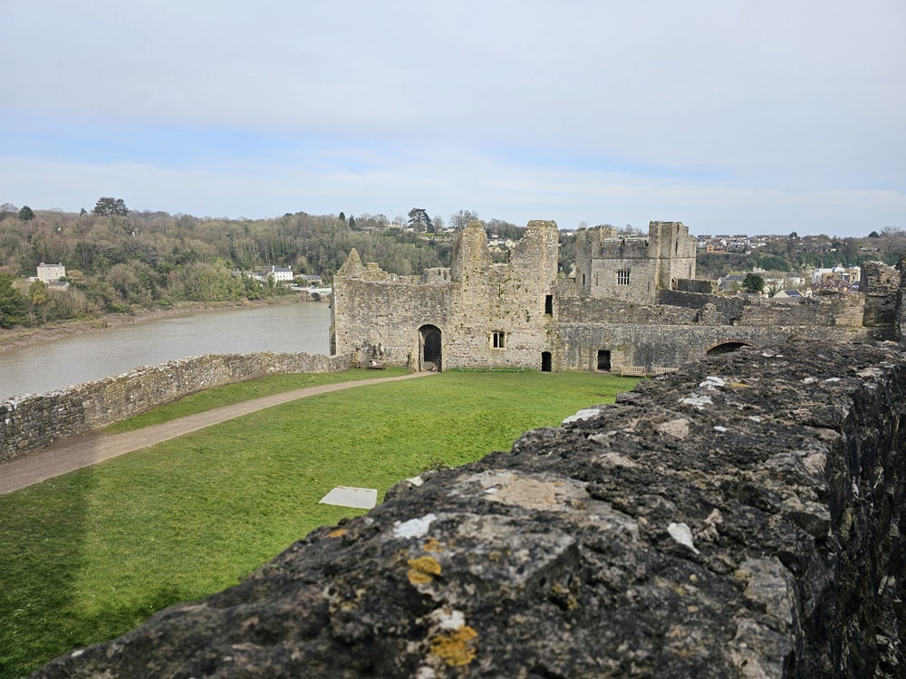
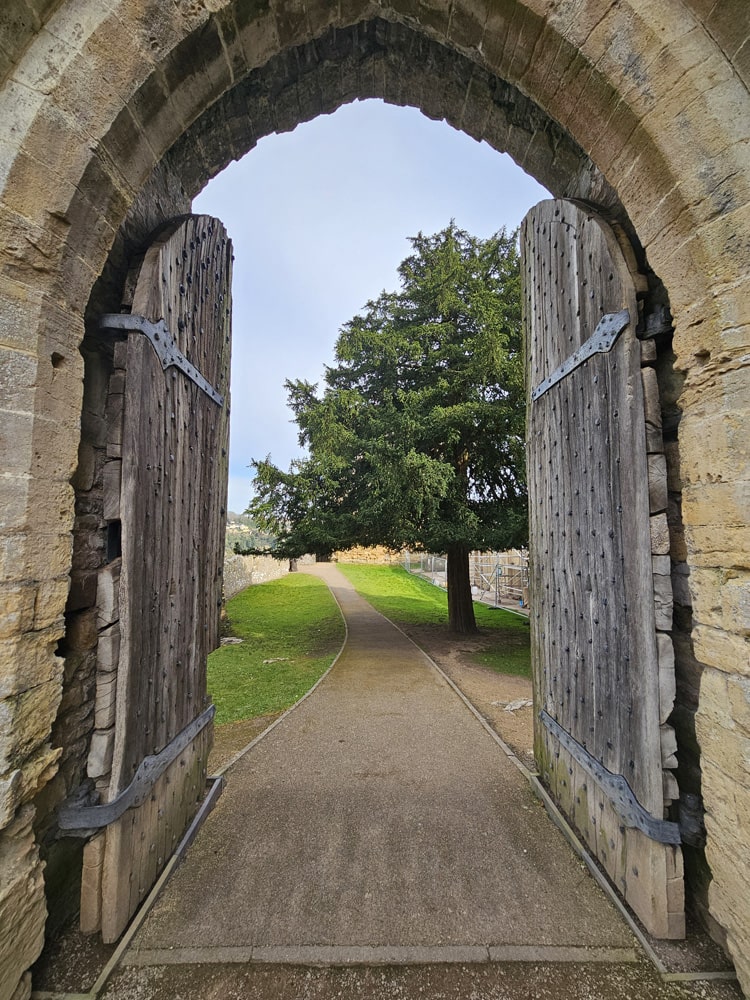
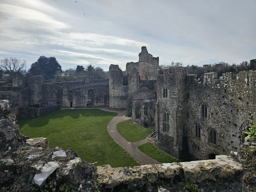
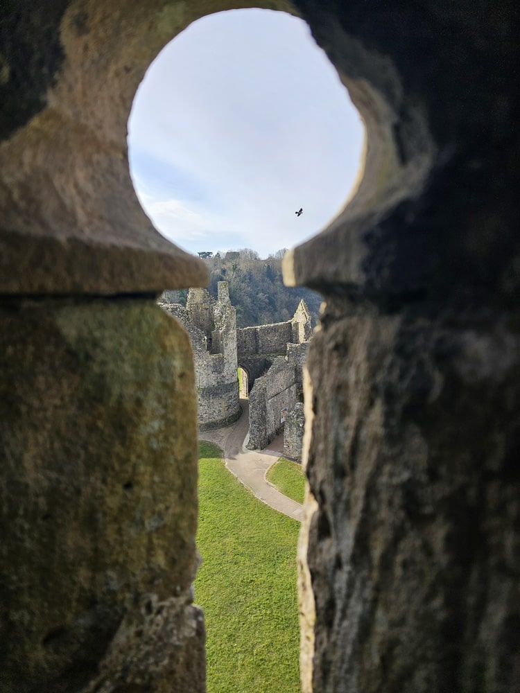
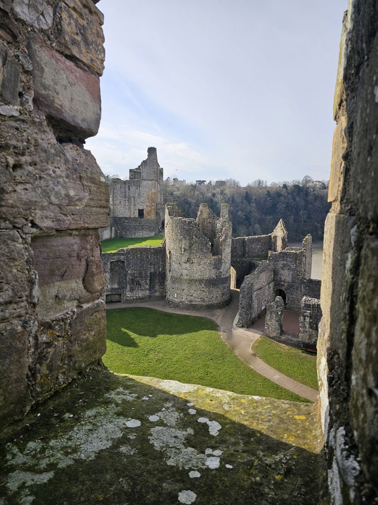
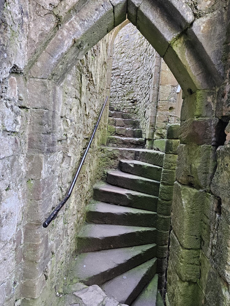
Perched on a limestone cliff high above the Wye Valley, Chepstow Castle is a superb example of an early medieval castle. This beautifully preserved masterpiece of medieval engineering was one of the earliest Norman strongholds in Wales, and also claims to be the oldest surviving post-Roman stone castle in Britain (with the oldest castle doors in Europe).
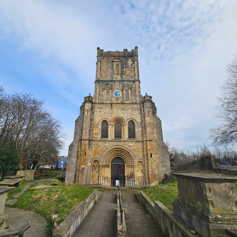
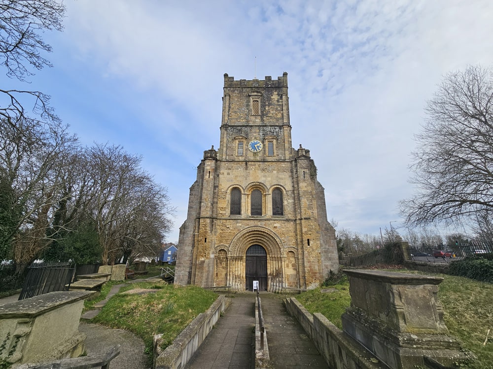
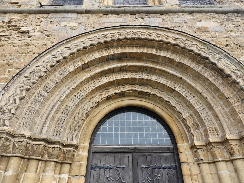
Chepstow Priory
The Parish and Priory Church of St Mary, more commonly known as Chepstow Priory, was originally the church of a Benedictine Priory founded by the Normans in the late 11th century. The priory was dissolved in 1536 by Henry VIII but the church continued under the Anglican regime. Its best surviving feature is the finely carved 12th-century west doorway.
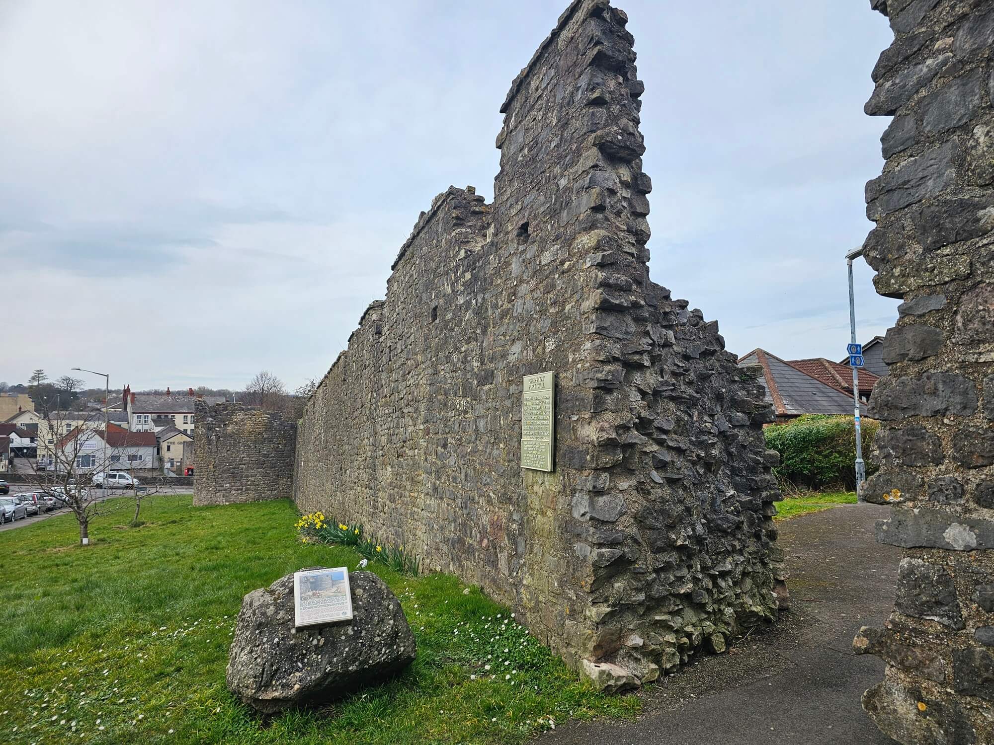
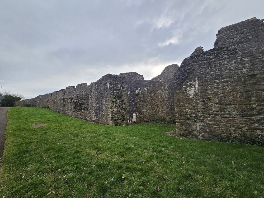
Town Wall
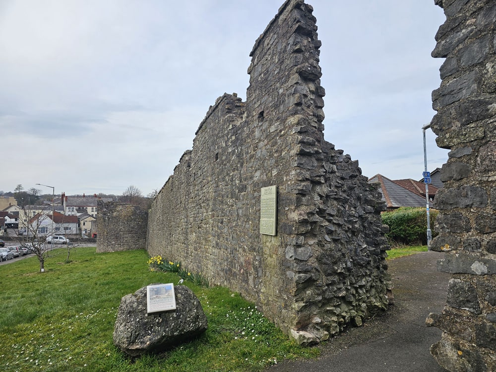
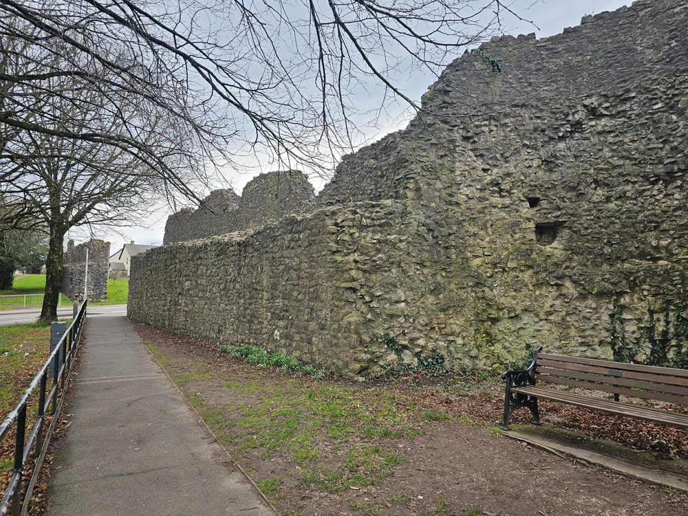
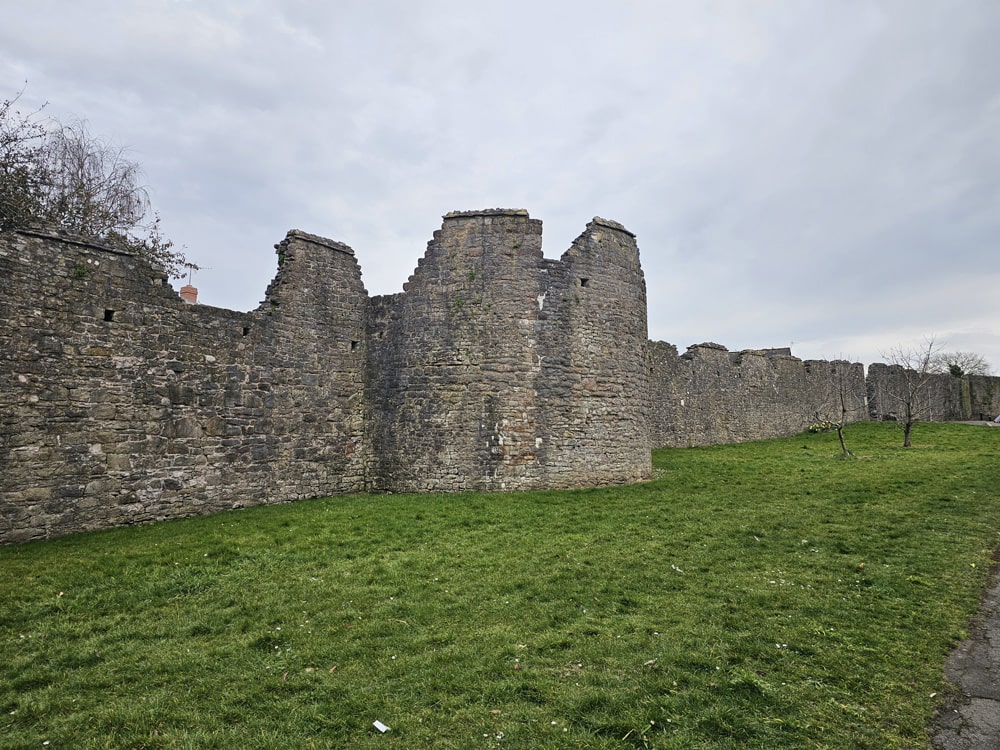
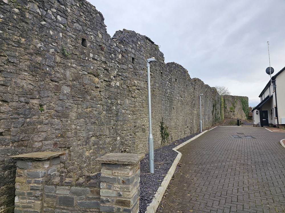
Chepstow’s 13th-century town wall, known as the Port Wall, remains an impressive feature of today’s town. Standing up to 13ft in some places, they originally stretched for almost three quarters of a mile, enclosing the medieval town and port. Extensive sections of the wall and remains of several of the semi-circular towers that stood at regular intervals still stand.
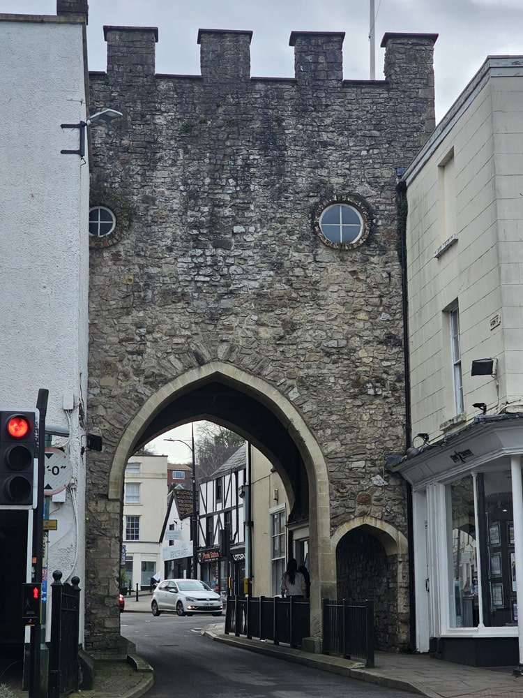
Town Gate
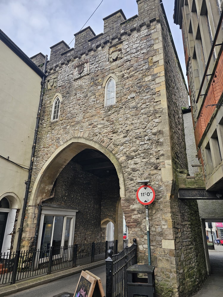
Chepstow’s Town Gate was originally built in the 13th century at the same time as the town wall. Historically, the gate was the only landward entrance to the town through the Port Wall, and a point where tolls for those visiting the town and its market were collected. The gate was rebuilt in the 16th century and has been restored on several occasions.
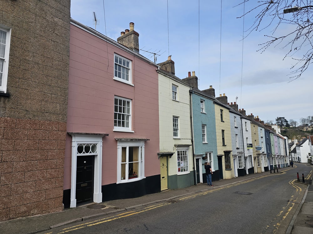
Photo Gallery.
Did you enjoy this post?
I hope you found this post useful. I put a great deal of time and effort in to building, maintaining and populating the website. If you like, you could say a small thank you by buying me a coffee. You don't have to, but it would be nice :)
Buy me a coffee
Stay up to Date
Follow me on my journey and get notified whenever a new post is published by following Kings & Castles on Facebook.
Follow MeExplore The Map
Discover the hundreds of castles, churches, monasteries, cathedrals and other historic locations that I've personally visited across England and Wales. Search by location, explore nearby sites and plan your next historical adventure.
Share: